
Project Design and Control
From Design File to Field-Ready Work, Without the Rework
Vitruvi turns GIS designs, PDFs, and redlines into a single controlled source of truth. Every markup, version, and document lives in one place, connected directly to the work happening in the field.
Every design element in Vitruvi stays connected to the work built from it, so field changes update the record instead of getting lost in email and paper.

Step 1
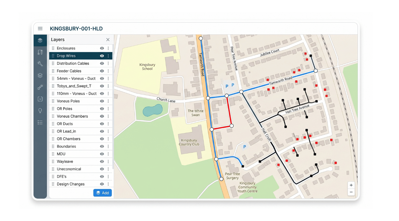
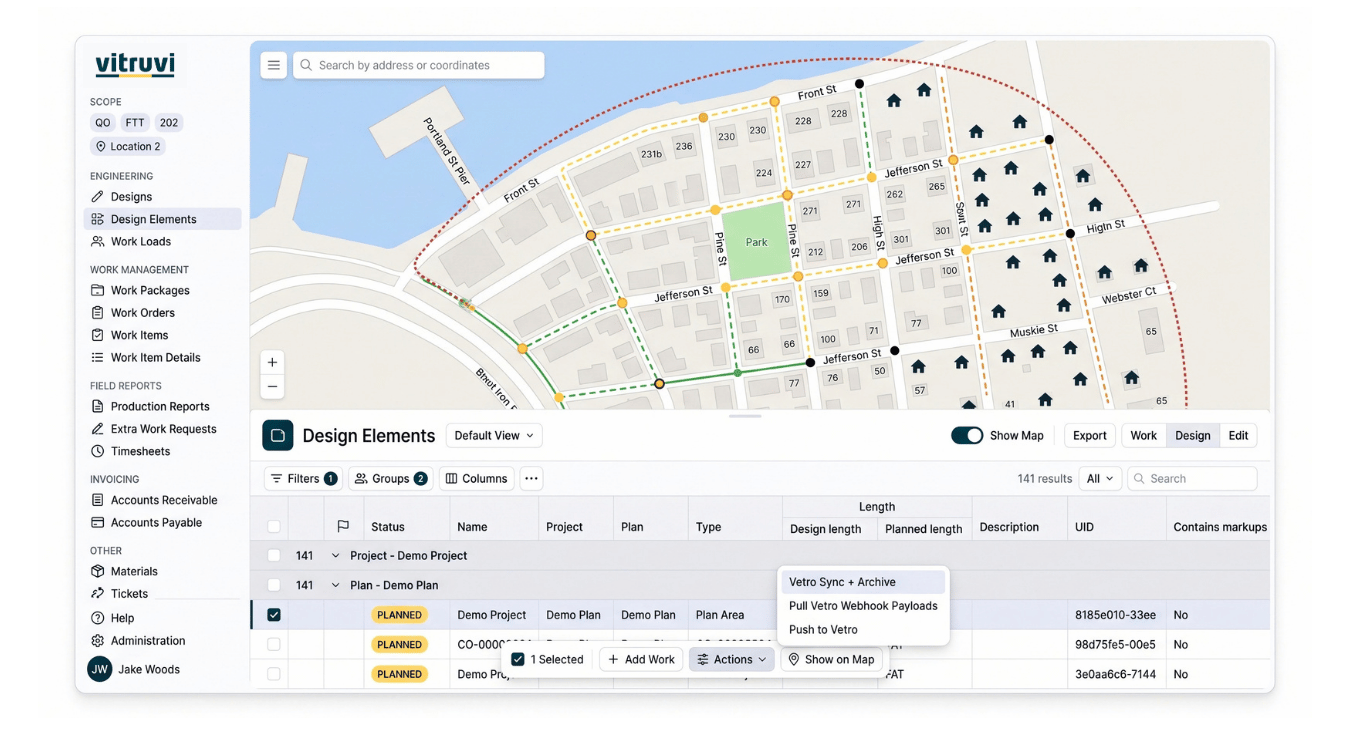
Import GIS, CSV, or CAD design files. Each feature becomes a design element on the map.
Step 2
Apply templates to selected design elements to create work packages, work orders, and work items in bulk.
Step 3
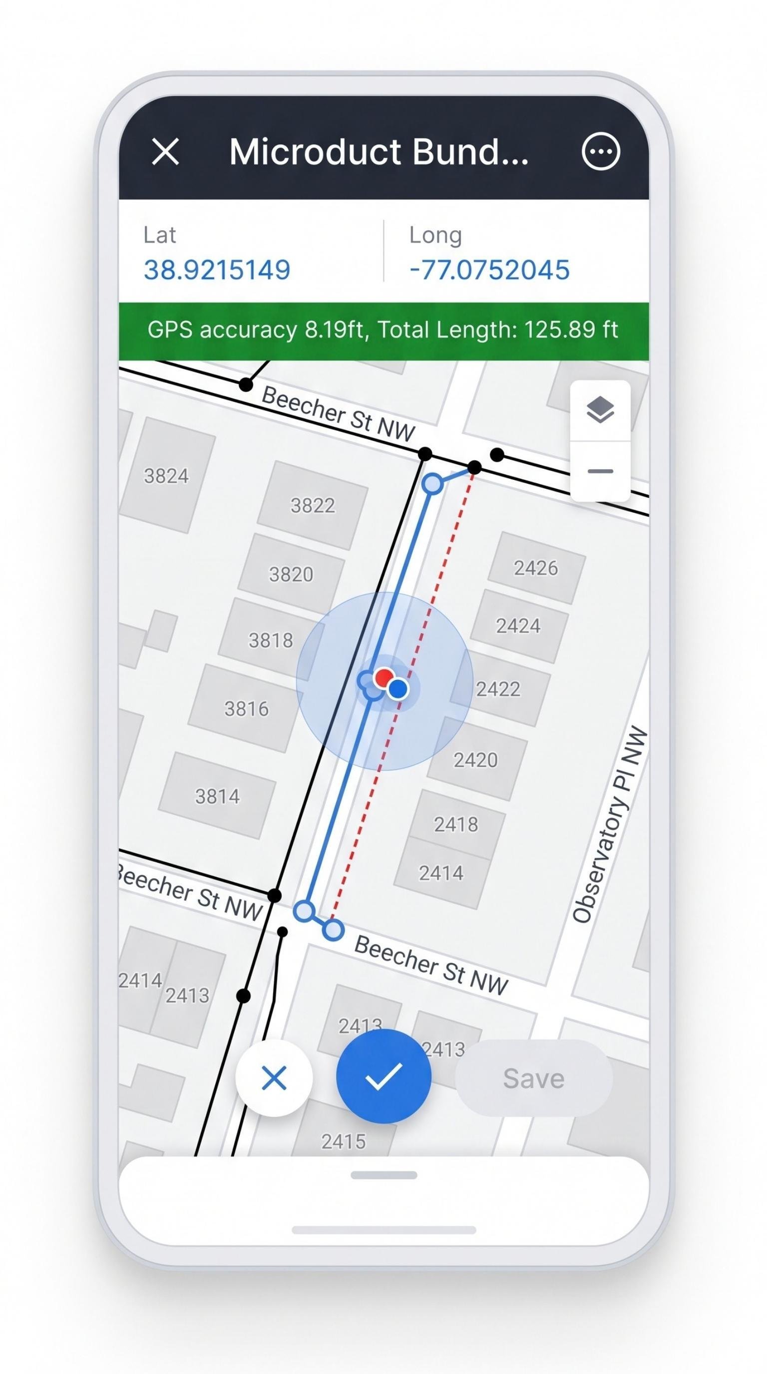
Crews redline on the map and mark up PDFs from mobile as they report production.
Step 4
Approved changes update the design record, and close-out packages consolidate files and annotations.
Keeping Design & Field Data Connected
Redlines & As-Builts (GIS)
Keep the design current as the field builds. Crews redline directly on the GIS map, and approved changes update the design while the original stays on record.
Design upload: GeoJSON, CSV, and CAD files become design elements
Map-based redlines: crews draw as-built geometry from mobile
Planned vs. as-built: original geometry kept for side-by-side comparison
Verified as-builts: approved changes flow back into the design record
“They can literally go into the app, move a handhole to the other side of the road, adjust the conduit, and make that a live change.”
Infrastructure Senior Project Manager, CEC
Document Repository & Controls
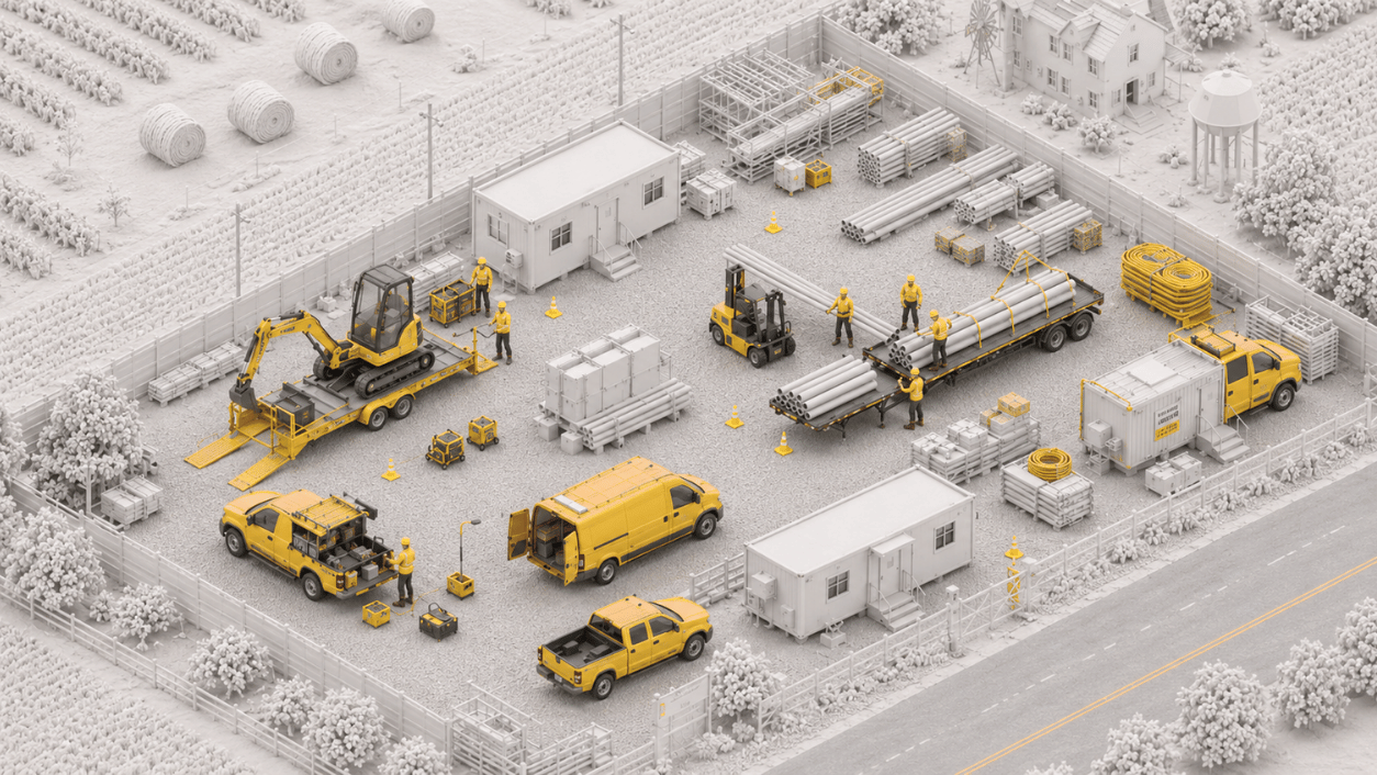
One controlled home for every project file. Designs, permits, contracts, and field files live with the work they support, and permissions decide who sees what.
Centralized storage: designs, permits, contracts, and photos in one place
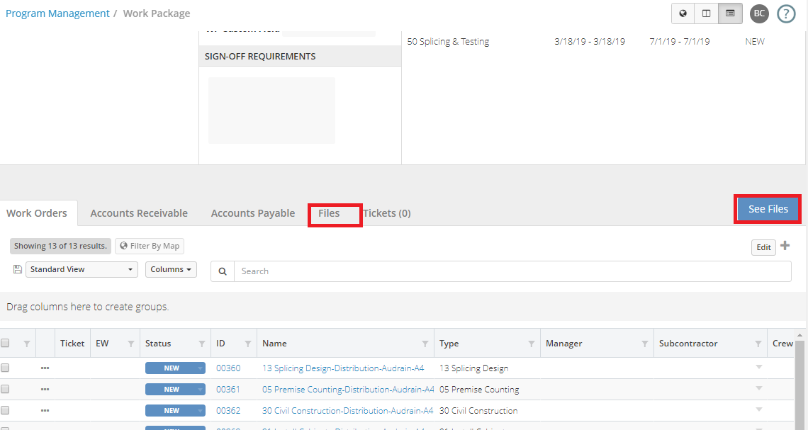
Files attached to the work: stored on work packages, work orders, and work items
Role-based access: control visibility by role and company
Close-out packages: consolidate files and annotations into one PDF per work package
“I like having everything in one place instead of chasing information through emails, phone calls, and spreadsheets.”
Project Coordinator, BAM
PDF Mark-ups & Annotations
Mark up plans in the field, not after. Crews annotate construction drawings on a phone or tablet, and the office merges annotations into clean close-out sets.
Mobile markup: highlight installed sections and add callouts on site
Web annotation: review and annotate drawings from the office
Selective merging: filter by completion date, work type, or subcontractor
Works with GIS redlines: PDF and map-based changes side by side
“That’s my favorite part. To put the red lines on one screen and show on-map on the other.”
Project Coordinator, BAM
Version History & Tracking
Know who changed what, and when. Every update to designs and documents is logged with a complete audit trail.
Full revision history: before and after values for every change
Clear accountability: across teams, contractors, and subcontractors
Design record preserved: original design kept alongside as-built changes
Easy rollback: reverse a change if it needs to be undone

Built for the Teams Who Own the Design
Engineering & GIS
Keep design records current without chasing redlines. Field changes come back on the map, and as-builts match what was built.
Project Managers
Issue field-ready work from the latest design and see changes as crews report them. Fewer surprises at close-out.
Build Partners
Get the current design and drawings on mobile, and submit redlines and markups with every production report.
Fewer Surprises at Close-Out
Trusted by Industry Leaders

FAQs About Construction Design Management Software
What design file formats can Vitruvi import?
Vitruvi imports GIS files such as GeoJSON and CSV, along with many CAD formats. During upload, file layers are mapped to design element types, and the mapping can be saved as a template for future uploads. PDF construction drawings can also be attached to work for projects that are not GIS-based.
How do designs become work in the field?
Select design elements on the map or in a grid, apply a work package template, and Vitruvi creates the work packages, work orders, and work items in one step. Crews then see their assigned work on the mobile map.
What is a GIS redline?
A redline records where something was actually built when it differs from the design, such as a moved handhole or a rerouted conduit. In Vitruvi, crews draw redlines directly on the map from mobile as part of their production report.
How do field changes get back into the design?
When a production report with redlines is approved, the new geometry updates the design element. The original design geometry is kept, so teams can compare planned and as-built side by side.
How are as-builts produced at close-out?
Approved redlines keep the design record current as work progresses. At close-out, Vitruvi consolidates files, photos, and PDF annotations for a work package into a single as-built package.
Can field crews mark up PDFs on mobile?
Yes. Crews open construction drawings from the production report and add lines and callouts on a phone or tablet. The office can merge annotations by completion date, work type, or subcontractor, and merged files stay editable.
Who can see or edit project documents?
Access is controlled by roles and company permissions, so owners, contractors, and subcontractors see only what they need. Every change is logged with who made it and when.
Does Vitruvi integrate with ArcGIS and other GIS tools?
Yes. Vitruvi syncs with VETRO FiberMap and connects with ArcGIS and 3-GIS through the Vitruvi Integrations Engine, configured for your environment.
Keep Design and Field Data Connected
Vitruvi connects GIS, CAD, and PDF designs to the work in the field, so redlines, documents, and as-builts stay in one controlled record.